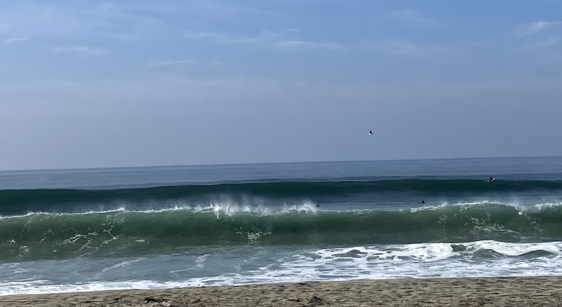
A West Coast hurricane?
Crazy, right?
But look at the graphic because we in SoCal are in the CONE!!!
That’s all anyone is talking about around here.
The storm’s path will bring it across the Baja California peninsula into the southwestern United States over the weekend and into Monday.
Regardless of Hilary’s exact track, we’ll be on the lookout for excessive rain, flash flooding, and high surf.
The National Weather Service has issued a Day 3 high risk of excessive rainfall, up to seven inches in the desert and about three inches here on the coast.
Hurricane Hilary grew rapidly to Category 4 strength off Mexico’s Pacific coast on Friday and could reach Southern California as the first tropical storm there in 84 years.
The U.S. National Hurricane Center said Hilary had sustained winds near 145 mph and was expected to continue its rapid intensification through Friday before starting to weaken.
It will nevertheless still be a hurricane when it approaches Mexico’s Baja California peninsula on Saturday night and will approach Southern California on Sunday as a tropical storm. It will potentially cause “significant and rare impacts” including extensive flooding.
However, if the hurricane tracks just a bit differently, it will cause more extensive and significant coastal damage. Winds are expected to be 50-ish mph with 70 mph gusts.
No tropical storm has made landfall in Southern California since Sept. 25, 1939, and reaching far into the past, the only known hurricane to make actual contact was near San Diego in 1858 with 73 mph winds.
I guess it’s time to batten down the hatches. I’ve been doing some prep out in the garden like removing umbrellas, wind chimes, and any deck furniture light enough to be blown around. Tomorrow I’ll clear out the ditch up on the hill that’s full of debris so it’ll flow if there’s any accumulated rain and not flood the backyard. I have plenty of candles if the power goes out and my cell is always charged.
Knowing me, I’ll want to go for a walk to the beach in the rain, but I’m also aware that’s not a great idea.
The one and only time I experienced a hurricane was about twenty years ago when I visited my son and DIL who were in school on the east coast. We huddled together when the power went out and the house was shaking off its foundation from the strong winds. The next morning we went for a walk and surveyed the damage; trees down, electrical wires dangling and sparking, and debris everywhere. After that, we drove to the beach to look at the surf. Another memorable event with those guys, that’s for sure!


