Heaven on Earth: Camping and Hiking in the Laguna Mountains

The Laguna Mountains are only about an hour away east from the ocean in San Diego.

Most people go there when we have snow — at 6000 feet, it’s the highest point in the county.

It’s possible to surf in the morning, cross-country ski (or hike) in the afternoon, and drop down into the shimmering desert to experience the best of everything SoCal has to offer.

Late May to mid-June is the time of year when color explodes in the mountains and it’s not too hot to enjoy a strenuous hike while the air cools down comfortably at night.

It’s easy to get here: east on Highway 8 to Sunrise Highway.

We went mid-week before schools were out for summer vacation and we had the mountain pretty much entirely to ourselves.

Fragrant pines, Engelmenn oaks, wildflowers; deep  blue sky with a few white puffy clouds.

Amazing…gorgeous…magnificent…breathtaking…

There aren’t enough adjectives to describe the spectacular views.

We hiked Desert View Trail and Big Laguna Trail, about ten miles or so.

It was truly heaven on earth, one of those experiences where whispering was the only way to communicate-we didn’t want to mar the ultimate reverence for nature.

These are only a sampling of the hundred-plus pics I snapped and none of them do justice to this paradise.

This slideshow requires JavaScript.


The Final Installment of Princess Rosebud’s Empowering Road Trip

California is beautiful.

Everyone should go on a road trip vacay and drive down (or up) the coast through the central coast along Highway One.

It’s spectacular.

The scenery is amazing and the views are breathtaking, BUT driving around Big Sur, the twistywindytwolanehighway is SCARY, more so if you’ve previously experienced a near death event.

One one side, there’s the vertigo-inducing views of the Pacific Ocean beneath a precipitous embankment, and on the other side, close enough so that if you open a window and reach out, you could almost touch the mountain.

“Mom, why is your lip bleeding?”

“Because I’m biting it to keep from screaming.”

“SLOW DOWN. SLOWDOWNSLOWDOWN!”

“See the red lights on the car in front of us? That is your very obvious CLUE that you need to react and SLOW DOWN.”

“Sssllllooowwwwdddooowwwnnnn…” says the crazy backseat driver.

“Heeheehee.” That’s Angel Boy chuckling at my terror.

“How about leaving a little more distance between you and the car in front of us?”

“Would that be too much to ask?”

My right thigh was becoming numb as I constantly phantom-braked during that entire death defying journey.

I clutched the dash so tightly, I thought they’d have to pry my fingers off of it.

In the back seat, DIL was listening to music and texting, observing this exchange between mother and son.

(I think she was laughing, too.)

My son lives his entire life by multi-tasking every single moment of every single day.

Even while driving, he’s eating, talking to his GPS, and carrying on two conversations.

His new name is Doctor Distracto, because the ONE thing he needed to concentrate on — DRIVING — what should have been his primary focus — was third or fourth on the list of what garnered his attention.

“Geez, pay attention to the traffic, would you?”

“STOOPPPPP!”

I was hyperventilating, fanning my face, telling him, “Do you want to give me a heart attack?”

Remember that film I liked, Guilt Trip, with Barbara Streisand and Seth Rogan?
(Read my review HERE of the best Jew-mom film EVER.)

This was OUR version of a road trip.

It was actually pretty funny. In reality, my son is a good driver in spite of being an absent minded professor.

When it was all over and we were once again on wide, straight roads, I apologized for my bout of insanity and praised his patience and even tempered disposition.

I highly recommend camping with one’s adult child and spouse.

I haven’t heard about too many other people who’ve done this. Let me know if you have and maybe we could start a club.

Popping a squat side-by-side on the trail with one’s DIL makes for a great bonding moment.

They had thoughtfully packed two tents, a huge family-sized Hobitat, and a smaller one in case I wanted to sleep in my own tent, and not with them.

I chose the “mother-in-law” unit because I didn’t want to disturb anyone or crawl over them if I had to get up and to to the bathroom at 3 a.m.

Two highlights of our road trip were day hikes  to Jade Cove and Julia Pfeiffer State Park.

I’ve always wanted to explore Jade Cove but I had no idea that it was going to become the challenge of a lifetime.

I had no idea that the only way to get down to where the jade could be found was by rope. THIS was where the EMPOWERMENT really kicked in.

NO WAY was I gonna do that.

Nope. Never. Not in a million years.

It should have been an absolute dealbreaker, but my desire for jade and serptentine treasures made me think I MIGHT be able to take the risk.

It would have been such a shame to come all this way and give in to my fears.

My son patiently coaxed me and DIL all the way and made sure we safely descended the nearly vertical bluffs, while he scrambled down like a mountain goat.

I AM EMPOWERED. 

(My hair looks HORRIBLE, but I’m grinning from ear to ear.)

jadecoveme1

The Jade Cove Trail is a simple flat path that loops out to the coast with a steep but short path down to the water where you can hunt for jade (please follow local regulations about collecting rocks.)

From the top.

Jadecove1
Jadecove2
jadecove4
jadecove9
jadecovekelp
JadeCovetreasures2


Animal print kelp?Treasures from Jade Cove!

After that, we drove to Julia Pfieffer State Park for a day hike. This state park is named after Julia Pfeiffer Burns, a well respected pioneer woman in the Big Sur country. The park stretches from the Big Sur coastline into nearby 3,000-foot ridges. It features redwood, tan oak, madrone, chaparral, and an 80-foot waterfall that drops from granite cliffs into the ocean from the Overlook Trail. A panoramic view of the ocean and miles of rugged coastline is available from the higher elevations along the trails east of Highway 1.

Overlook Trail and the cove with famous turquoise water.

juliap7
Juliap8
JuliaP1
JuliaP2
juliap3
juliap4

McWay Falls, one of only two coastal waterfalls in California, where McWay Creek falls 80 feet over a granite cliff onto a sandy beach, or at high tide directly into the Pacific Ocean.

McWay Creek
Majestic redwoods Squint your eyes and you can see Angel Boy and DIL at the base of the gigantic redwoods.

Bottom line: Empowerment is empowering. At any age.

Read the rest of my Empowerment Series here:
Part One
Part Two
Part Three
Princess Rosebud’s Empowered Solo Vacation: Part Three

Hiking at Montana de Oro.

After a horrible night of not much sleep thanks to a bunch of obnoxious college students who must have been too drunk to understand that, to most people, camping means peace and quiet, not a beer binged free-for-all, we embarked on a day hike.

Our goal was Valencia Peak, but we first made a loop up Oats Peak Trail.

Valencia Peak is a coastal mountain located within Montana De Oro State Park. This trail offers gorgeous views of the Central Coast, great views of Morro Bay, Cayucos, and on clear days, you can see Cambria and beyond — with amazing views of Spooner’s Cove to the south.

It’s an easy trail with gentle elevation gain; I didn’t even need the alpine walking sticks I packed.

The spectacular views begin right away as you ascend up onto a saddle, and the rest of the hike is before your eyes.

The trail gets a little harder the closer you get to the top.

DIL and I stopped shy of the peak; my son wanted to run to the top and back, so we took a break, ate lunch, and admired the view of the ocean.

The views are beyond breathtaking. It feels like you’re on top of the world.

The hike down is much easier, but watch out for rattlesnakes. We saw a baby, whose venom is more potent than the adult rattlesnake.

montanadeorohike1

Not too difficult, right?

montanadeorohike2
montanadeorohike3
montanadeorohike4
montanadeorohike5
montanadeorohike6

Ah-may-ZING Kind of a hazy day, but perfect hiking weather.My little goat boy.
A narrow passage.View from the Visitor’s Center.
Part Four: Jade Cove, Julia Pfeiffer, Cambria, and Costanoa.

Princess Rosebud’s Empowered Solo Vacation: Part Two

After the mostly tranquil train ride (except for one poorly parented relentlessly screamingfordonuts toddler who seemed not to be bothered by her screeching while staring at their smartphones), I was met at the train station in sunny Santa Barbara by Professor Angel Boy and we stopped for lunch at an organic foods cafe.

We made an unscheduled detour because he wanted to check out the surf at Morro Bay, and because it’s always really all about him, that’s what we did.

campingmaysantabarbara2

Driving up the coast to Morro Bay.

campingmay22seagullmorrobay

I’m not much of a seagull lover, but this guy was too photogenic to ignore.After a brief surf session, we continued to Montana de Oro State Park, six miles southwest of Morro Bay and seven miles south of Los Osos on Pecho Road.

It’s fairly rural and rustic, but SO beautiful. We set up camp and were able to manage a late afternoon hike.

With the sun low in the sky; clouds and fog actively moving over the tops of the mountains, it was serene and enervating at the same time.

campingmaymontana3
campingmaymontanawater

Crossing a small creek.

Lichen.

campingmaymontanalichen2
campingmaymontanaflowers
campingMay23oro
campingmaymontanamole

Pretty yellow flowers.
Ah-MAY-zing view.A mole peeking out of his hole.

Quail are everywhere and for a while, their melodic conversations were the only sounds we heard. These guys were walking around directly outside my tent.

Later that evening, after a relaxing fire and glass of wine, we heard the unmistakable scream/growl of a bobcat across the canyon.

At that moment, life was perfection.

Little did we know that in a few short hours, in sharp contrast to this beauty and tranquility, we would endure the WORST EVER camping experience of our lives.

As we settled down to a good night’s sleep under a star-filled sky, a group of approximately twenty college students set up their camp nearby and proceeded to drink and yell and party LOUDLY until 4:30 a.m. in spite of the 10pm-7am quiet time rules.

Apparently, nobody, including us, got up to inform the camp host or the rangers of this HELL we had to endure, but we all complained to him the next day.

Just awful.

However, at approximately 3:30 a.m. just as we were dozing, or trying to, during the bacchanal, three fat raccoons furiously attempted to tear apart the locked food cabinet next to our picnic table. My son had to get up and shoo them away, and as he put the food in the car, one of them tried to sneak in.

Amazing.

It was an eventful night.

Right after THAT little adventure, a bobcat screamed so close we thought it was within feet of where we were sleeping, and figured that he had an altercation with those raccoons.

No one slept much after that, because we wanted to stay awake in case we could see him walk by.

No luck with the bobcat sighting, but as I unzipped my tent in the morning, see who was looking at me? A beautiful gray fox! These aren’t the best pics because I was in such a hurry to snap them before he ran off.

campingMay23fox1
campingmay25fox2

What an astonishing gift to sort of make up for the rude frat boys.

So far, quite an adventure, don’t you agree?

Part Three: A Ten-Mile Hike

Princess Rosebud’s EMPOWERING Solo Adventure

(Blogging from the train, which is OK except for spotty wifi and my paragraph edits aren’t working, so this post won’t look exactly right.)


“It’s never too late to become empowered” she said.

Well, thank you very much for that unwanted opinion.
At 6:15 a.m., I was the first one in line when the Amtrak Station opened up.
I’m on my way to Santa Barbara to meet my son/DIL and have a little camping and hiking vacation. This is something that tugboat man and I had been looking forward to, but alas, he was called back to work immediately upon arriving home, so I decided to be a BRAVE princess and venture forth into the big scary world all by myself.
What was I thinking??
Confession: I’m not much of a traveler. Although I do travel alone from time to time, mostly tugboat man and I are together and he takes care of everything and all I do is stand here or sit there and do as I’m instructed, moving from point A to point B.  It works out better that way for both of us if he takes the lead. I mean, he’s so GOOD at it, and it reduces my stress level (and his) if he does all the thinking.
But this adventure is all my own.
My son’s dad picked me up a little before 5:45 a.m. to give me a ride to the train station, which is why I was there bright and early at 6:15.
I had many questions for the Amtrak employee:
1. Where do I go?
2. Where will the train be?
3. How will I know it’s the right one?
4. Where will I sit?
5. Where will my son pick me up?
6. Where will I find my suitcase?
7. Will you lose my luggage?
I explained to her that I never travel alone and I’ve only taken the train one time twenty years ago, and that’s when she proceeded to give me a life lesson that I didn’t expect, didn’t ask for, and didn’t really need.
“I never travel alone.”
“Well, you DO travel, don’t you?”
“Yes, but when my husband and I travel, he takes care of everything”
That’s when she said, “It’s never too late to become empowered”
I have to admit her tone was ever-so-slightly snarky, and this was corroborated by the nice young man from the United States Marine Corps (whom I have attached myself to for dear life).
He was standing next to me listening to all of my questions and I believe that he felt sorry for me (reminded him of his mom) and felt like he was performing in the intereste of our national security to guide me on the train when it arrived, and now we’re sitting next to each other.
He’s on leave for Memorial Day to his family ranch in Los Osos.
Of course, I thanked him for his service and I must say that I feel very safe and in good hands until my son collects me from Baggage lol.
Stress level is high, but if I could make my way SOLO to Goettingen, Germany to stalk visit my son while he was there for his junior year abroad, I can certainly sit on a train for four hours with my own personal USMC escort, dontcha think?
After all, like I keep telling my Angel Boy, that umbilical cord will stretch, but will never evereverever BREAK.
There isn’t a place on earth he can go that I won’t follow.
I know that sounds like a threat, but it’s really not. It’s just a mother’s LOVE.
I stand corrected…an EMPOWERED mother’s love.
Here’s a few pics from the train…
Train1 train2 train3 train4

High Desert and Big Rocks

I’m back from Wolf Mountain Sanctuary in the Mojave Desert.

I’ll post about our experience at the sanctuary, but it was mostly sad. Sad that these magnificent creatures NEED to be rescued. Sad that they can’t roam free, sad they’re hunted, tortured, hated. They are among the most intelligent and evolved species. How dare we destroy them. Sad. Very sad.

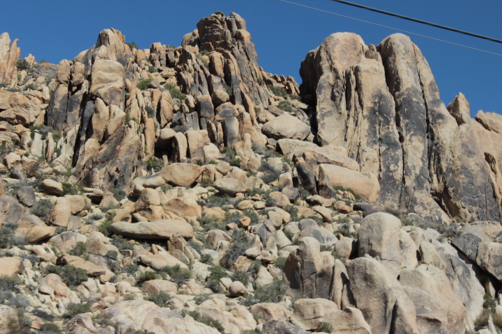
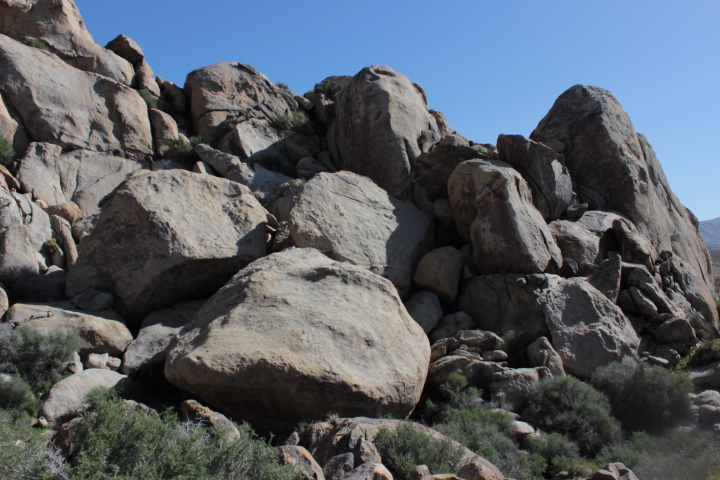
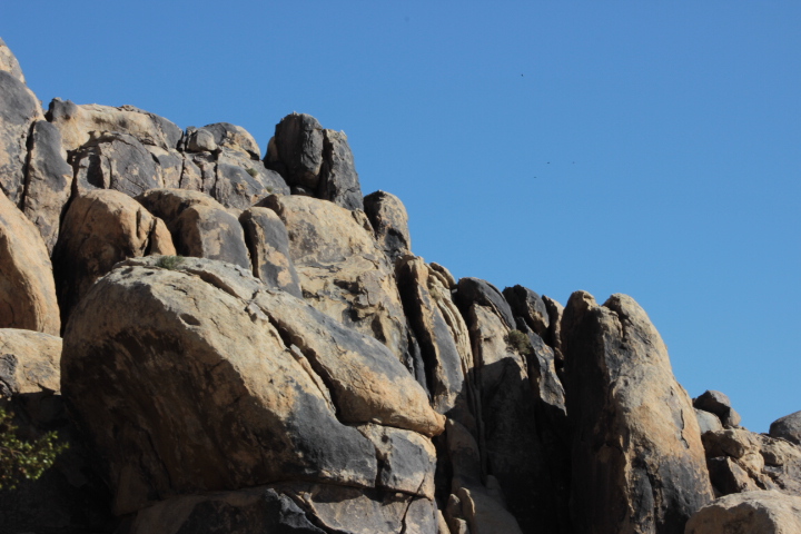
Check out this  amazing outcropping of rocks.
mohave1 mohave2 The Mojave Desert is also known as the High Desert because of its elevation, between 2,000 and 4,000 feet above sea level.  mohave3 Blue sky and rocks.mohave4 Ick.mohave5 mohave6 mohave7 LOVE this pic.mohave8 Rock climber Not me.mohave9 mohave10 mohave11#highdesert #mojave #desert #wolves #hiking

A Secret Cathedral at the Grand Staircase-Escalante National Monument

We had one last detour before our final destination of the magnificent Zion National Park.

Our goal was to pack in as many sights as we could on our ten-day trip.

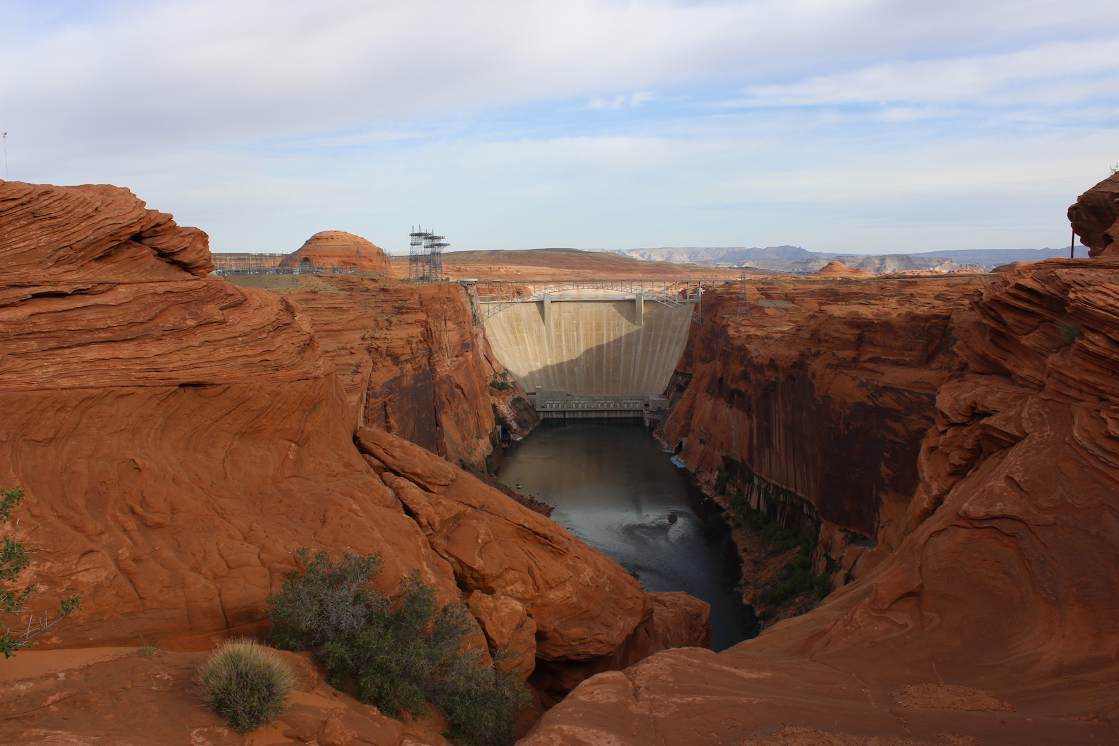
We were up early for a short hike to a lookout at Lake Powell.

Glen Canyon Dam.lakepowell

Lake Powell, with hardly any water in the middle of this drought.lakepowell3 Beautiful cliffs.lakepowell1

Back on the road, we turned off the main highway and set out on a dusty, bumpy, red-dirt path barely wide enough for one vehicle — more like a wagon train trail — several miles off the main road to a trailhead that would lead to an amazing slot canyon hike.

The Grand Staircase-Escalante National Monument, at 1.7 million acres, dominates southern Utah.

It’s unique in that it is the first monument to be administered by the Bureau of Land Management, rather than the National Park Service.

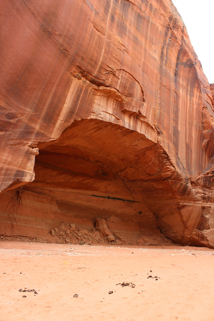
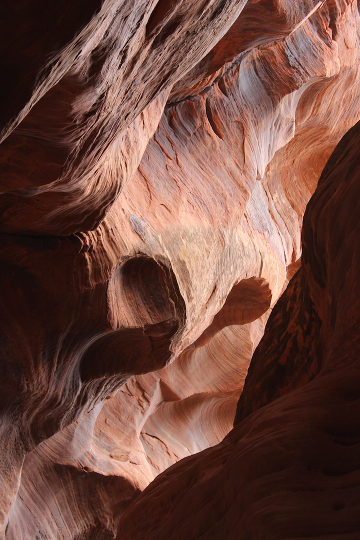
The Grand Staircase is a geological formation spanning eons of time and is a territory of multicolored cliffs, plateaus, mesas, buttes, pinnacles, slot canyons, and world-class paleontological sites..

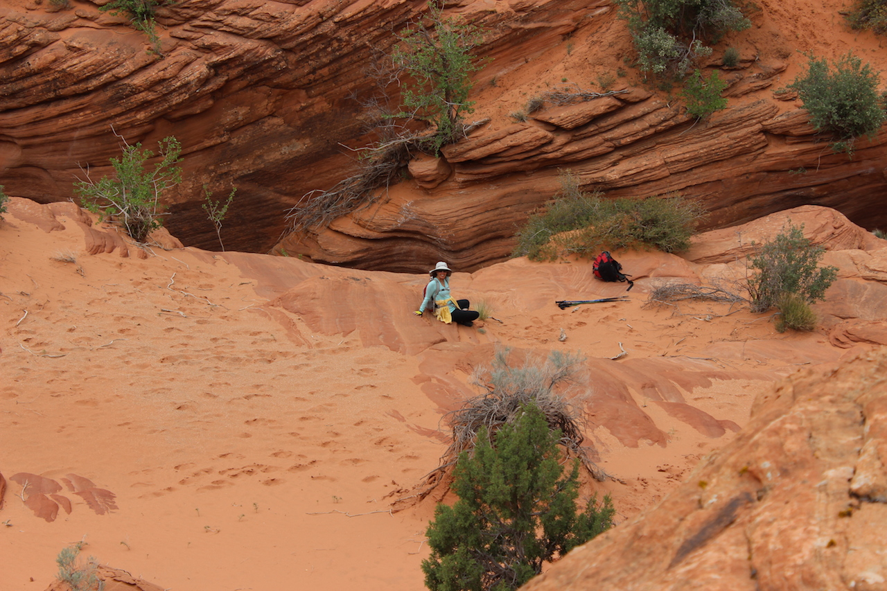
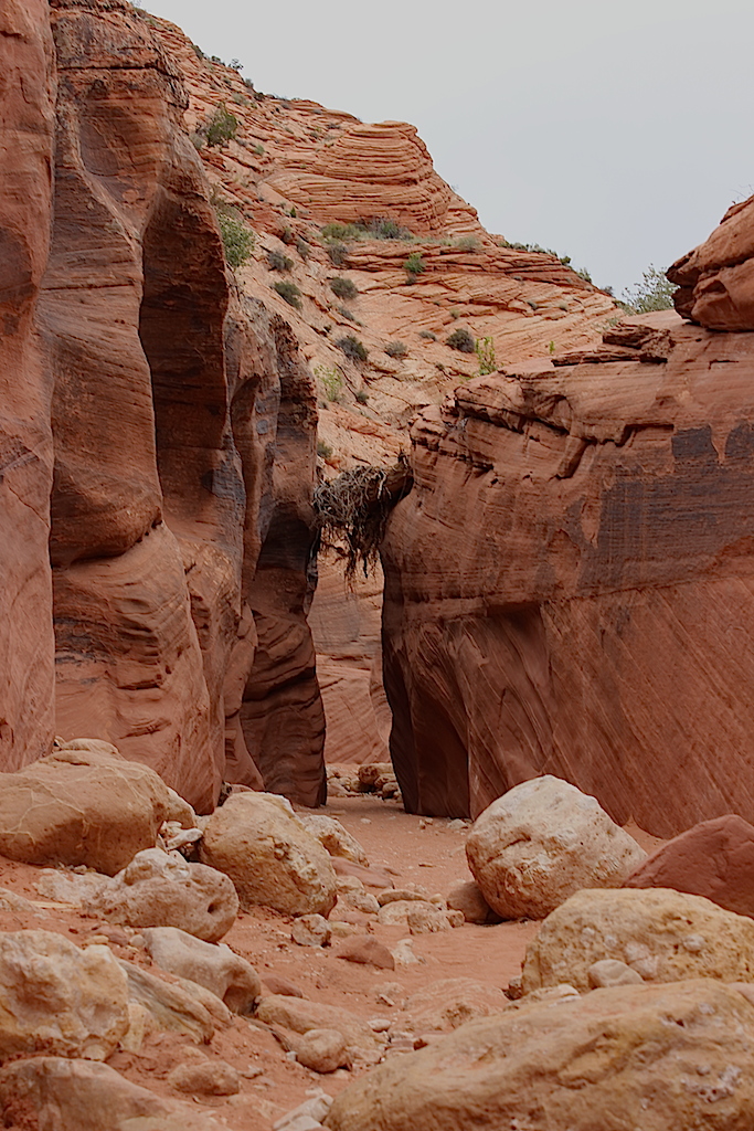
After hiking for about and hour or so, clambering up and out of narrow and shady slot canyons that seemed to go on forever, passing a random cow or two, the “cathedral” emerged in a open space bathed in sunlight.

It was really, really, really, REALLY special. Words can’t describe it and my pics don’t do justice to its beauty.vermillioncliffscathedral

I don’t know why it’s “secret” except that a couple of experienced hikers we chatted with at the trailhead shared a few of the highlights of the area and cautioned us not to be TOO specific when we talked about where we were to avoid it becoming overcrowded. vermillioncliffs vermillioncliffs1 vermillioncliffs2 Spectacular. WOW.vermillioncliffs4 This is supposed to be one of the longest slot canyon hikes in the country, if not THE longest. We hiked for about three hours in, a six-mile round trip.vermillioncliffs5 vermillioncliffs6 ME! vermillioncliffsme Vermillioncliffs10 Vermillioncliffs11 vermillioncliffs12

Next stop, ZION!

Angel’s Landing @ Zion National Park: Photos

A few of my favorite pics from our road trip last week:

Pretty pink flowers growing out of the mountain wall at Angel’s Landing

zionflower

Beautiful bright red bird!

zionredbird

Looking down from the top of Angel’s Landing. Don’t climb this if you have vertigo!!

angellandingSurrounded by beauty.

angellanding2

The view from the top while we ate a snack of nuts and apples.

angellanding3#ZionNationalPark #AngelsLanding #photography #travel #nature #hiking #camping #Utah


Wandering to Zion, Part Three

Our road trip adventure continues…only two more installments and then I’ll be back to writing sparkly + snarky commentary.
>>>>>>>>>>>>>>>>>>>>>>>>>>>>>>>>>>>>>>>>>>>>>>>>>>>>>>>

Confession: I’m a great co-pilot traveling companion. You would LOVE to have me in the passenger seat with you, I promise.

I keep the snacks flowing, conversation is stimulating, and I even throw a few dance moves in with jazz handskitty-jazz-hands at appropriate moments. Jazz hands are the BEST.

Kitty jazz hands are even better, don’t you agree?

We compiled a bunch of music for the road; stuff we both like; Frank, Ella, Nat King Cole, and stuff I like; Adele and Christina Perri.

The next morning we hit the road to explore the Petrified Forest National Park and Painted Desert. We walked pretty much throughout the whole park at every stop and trailhead. The sky wasn’t as blue as the day before so the colors weren’t as vibrant as they might have been.

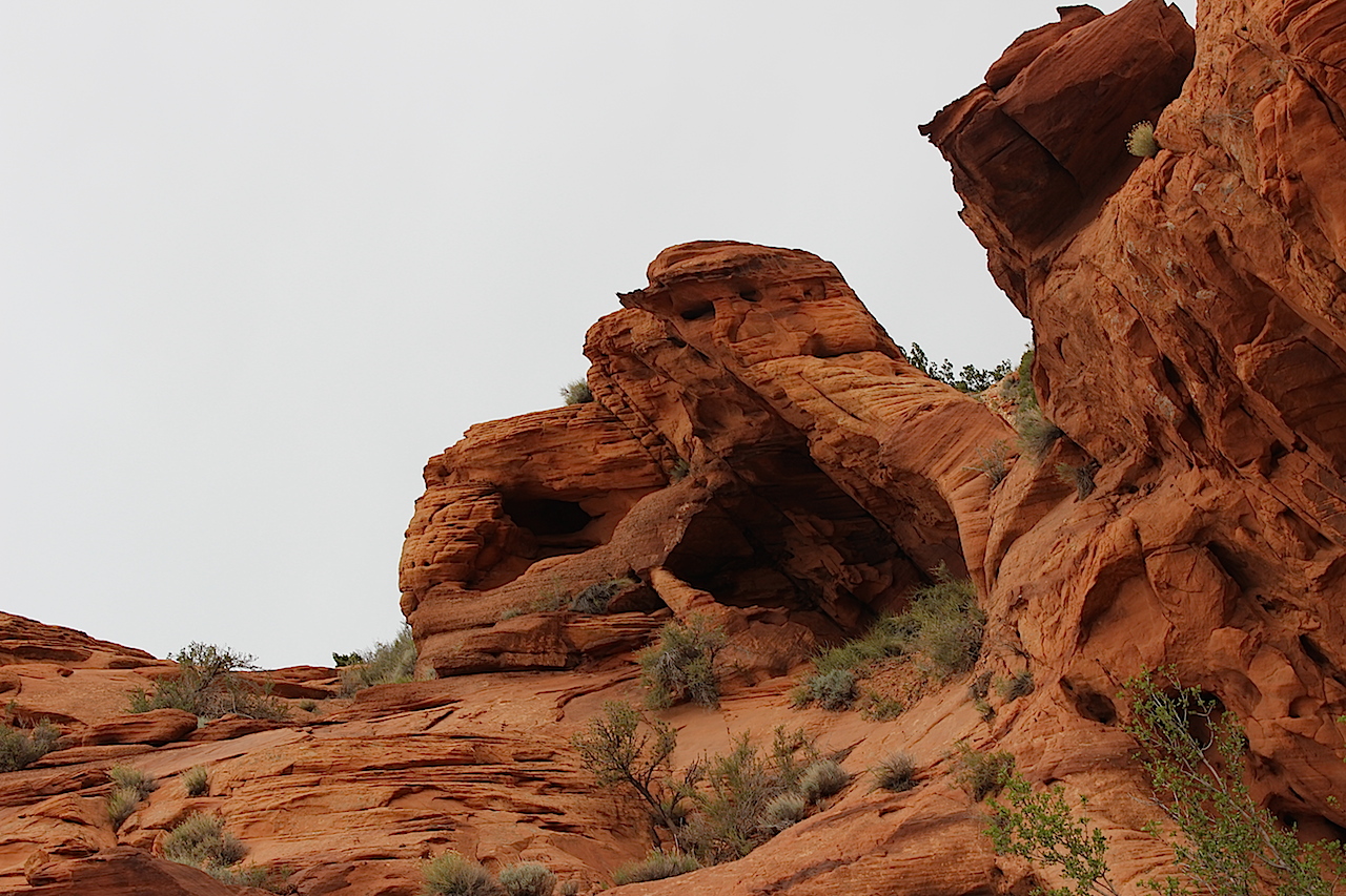
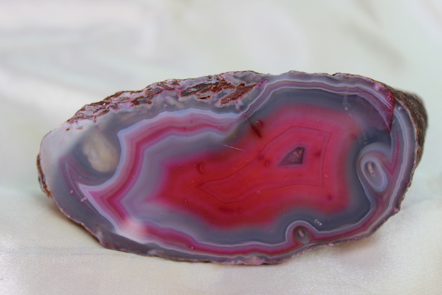
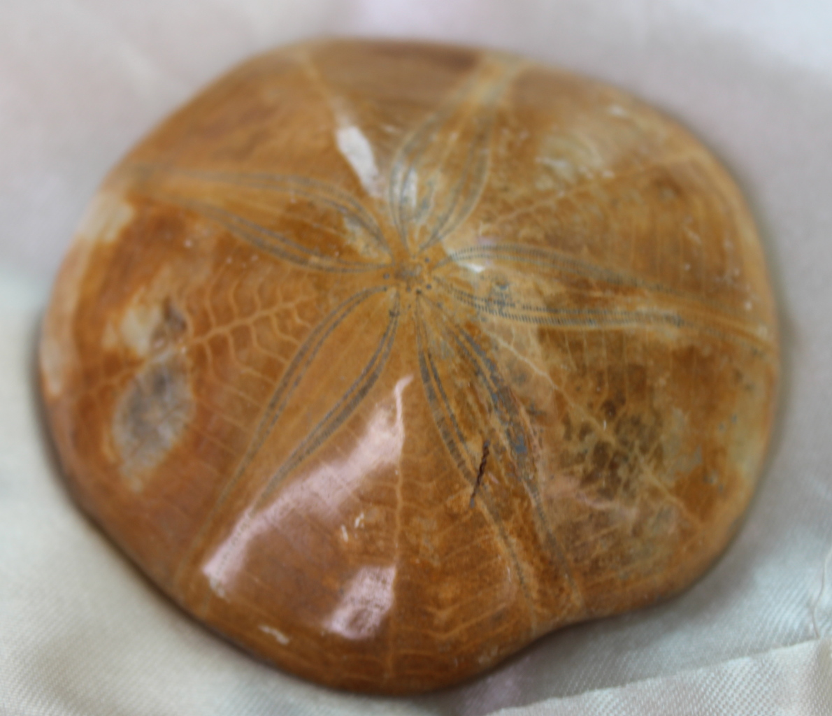
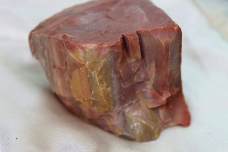
Of course I stopped at a gift shop for local wares, and I chose geodes, petrified wood, and a petrified sand dollar!aquageode hotpinkgeode petrifiedsanddollar petrifiedwood

It’s hard to believe this was all under the ocean a zillion years ago. Evidence of early human occupation (13,000 years ago) is readily visible with petroglyphs and potsherds.

This slideshow requires JavaScript.

Our plan was to journey on the Highway 40 — old Route 66 — to Natural Bridges National Monument in southeast Utah, between Hanksville and Blanding. It’s rather remote and not close to other parks so is not so heavily visited. Unlike Arches National Park with over 2,000 classified arches, there are only three bridges here though the monument also contains Anasazi cliff dwellings, pictographs and white sandstone canyons.

But…when we got back on the road, one of the dashboard gauges indicated that we were losing power.

Things didn’t look good.

We were pretty much in the middle of nowhere.

Although he packed a lot of tools, the one thing we needed most, something called a volt meter, was still at Casa de Enchanted Seashells.

Lucky for us (unlucky for lots of other cars that must break down on that road) we saw a hand painted sign for Mike’s Auto Repair and took the next exit.

Mike was like a lot of people we came in contact with in Arizona — sorta friendly, sorta not — and all business. He had a volt meter, and we figured that our problem was either a bad battery or a bad alternator — or both.

We gave Mike a “donation” for the use of his diagnostic tool which ensured that our tires remained unslashed, and drove forty miles back to Holbrook, where there was an O’Reilly Auto Parts Store, just like there was in Payson where we had a less urgent car repair issue.

I was nervous the whole way — being stranded didn’t sound like it was any sort of adventure that I wanted to experience.

In Holbrook, we bought a battery which was installed in a few minutes.

Everyone at O’Reilly thought that would/should solve the problem…and brushed aside my BRILLIANT and soon-to-be prophetic suggestion that we also purchase an alternator “just in case”.

We’ve gone on a lot of road trips and we’ve never had any problems, and so far this was our second mechanical failure in three days. For someone who has absolutely NO idea about what makes cars tick, I figured it wouldn’t hurt to stock up on parts that MIGHT break, right?

Can you guess where this is going?

We hadn’t gone more than one mile when the battery gauge indicated a problem in the electrical system  —  again.

Obviously not the battery this time, but somehow the battery wasn’t charging.

Yup.

The alternator or the voltage regulator was probably at fault. Apparently, everything decided to fail at the same time. We immediately turned around back to O’Reilly and lucked out that they even had the right part in stock or we might still be there.

There’s a Dollar General on pretty much every corner throughout Arizona and I picked my way between broken glass and plastic bags across a trash strewn empty lot for a little retail therapy. I went up and down every aisle but came away empty-handed; nothing caught my discerning eye. Oh well. I guess it wasn’t meant to be.

Once again we settled in for a long ride. Because we had lost most of the day, we decided to change direction, skip National Bridges National Park and forge ahead to the Vermillion Cliffs at the The Grand Staircase-Escalante National Monument in Utah  – wandering ever closer to Zion.

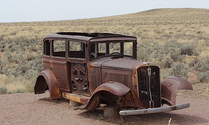
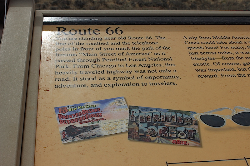
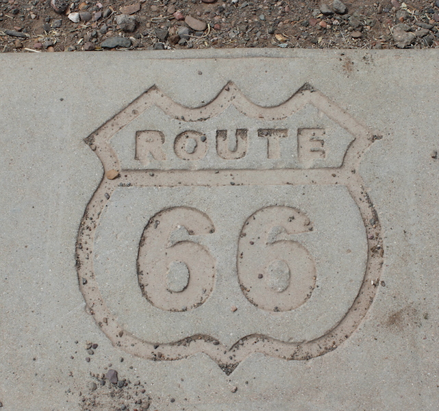
Driving down Highway 40 — Old Route 66 — we both sang along with Nat to “Get Your Kicks on Route 66” I mean, how can you NOT, right?

route661 route662 route663 route664

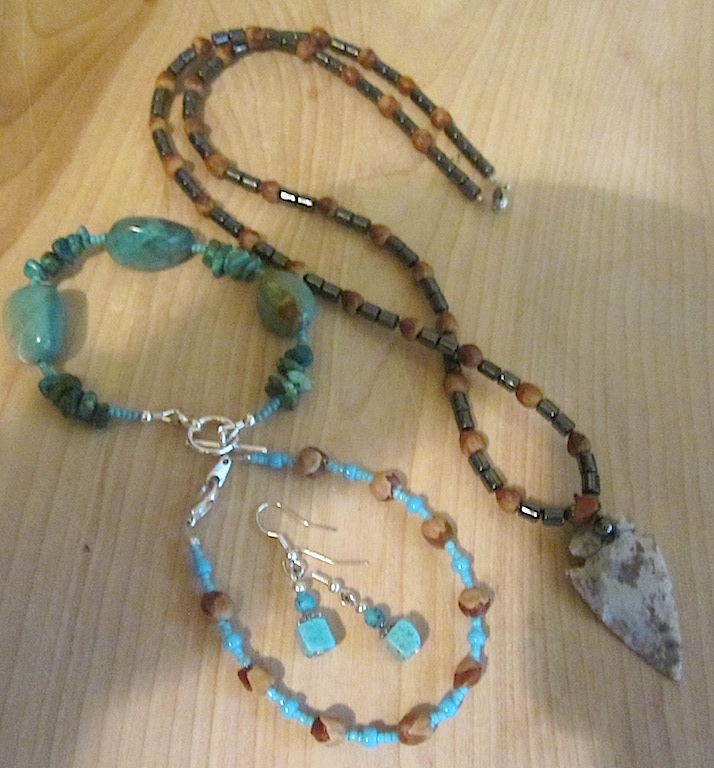
Along the way, on the side of the road, were a couple of Navajo women selling jewelry. The tables were packed with handmade jewelry — turquoise, hematite, juniper beads, and baskets. I asked before I snapped, and got a big smile for the camera.jewelryNavajo

A pretty good haul, don’t you agree? I got a basket too, but forgot to take a pic.navajojewelryArriving in Page too late to locate a campground, we had our worst night EVER at Motel Sucks Six in Page, Utah at fake Lake Powell. Apparently, this was a busy time for Page, as all the hotels were booked. The fact that Motel Six had any room available was NOT a good sign.

My travel tip to everyone is to avoid this Motel Six if at all possible. Especially Room 239. 

You’re welcome.

Next stop: Vermillion Cliffs!

Wandering to Zion…Part Two

Wandering to Zion, Day One: 
Part One and a Half…Wandering to Zion
***********************************************************************************************************

We were meandering; taking our sweet time getting to our ultimate destination of Zion National Park.  Zion was so crowded that we figured it was the perfect excuse to explore lesser known parks.

That’s how we roll. This was the most relaxed road trip we’ve embarked upon; no stress or pressure — no deadline.

Moving on, literally…we left Payson, Arizona and drove to Tonto Natural Bridge State Park. We hiked to the largest travertine bridge in the world — 183 feet high with a tunnel width of 150 feet and length of 400 feet.

There was a bit of scary, slippery rock scrambling with a moderately steep drop; not one of my favorite things to do, but the view was worth it.

This slideshow requires JavaScript.

Our next stop was the nearly 700 year-old Salado cave dwellings at Tonto National Monument. To get to them, there’s a steep but paved one-mile round-trip trail that ascends 350 feet to the Lower Cave Dwelling.

Built in the early 14th century, this village was part of a vast multi-cultural network that extended from the Four Corners region to Northern Mexico. While remnants of thousands of similar villages dot the Southwest, this well-preserved building represents one of the last Salido cliff dwellings. Local springs provided water for Paleo-Indians who lived here over 10,500 years ago.

There was so much to see and be amazed by —

This slideshow requires JavaScript.

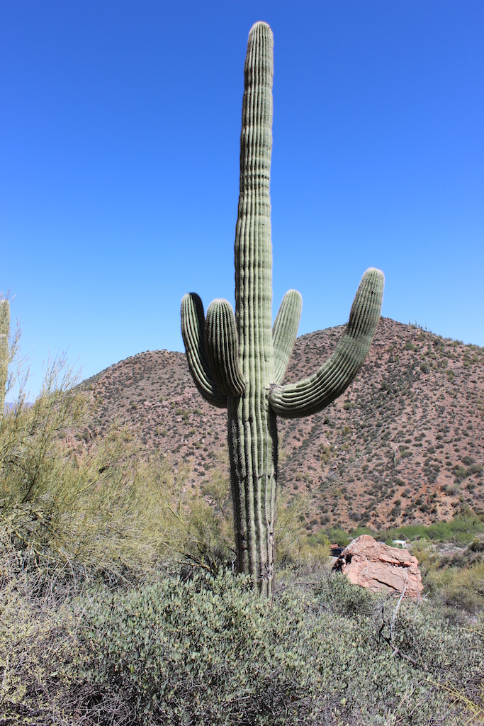
I am so in LOVE with Saguaro cactus — those arms that dot the landscape all over Arizona. We don’t have that variety of cactus in SoCal. I got a package of seeds and hope they sprout.

Saguaro cactus

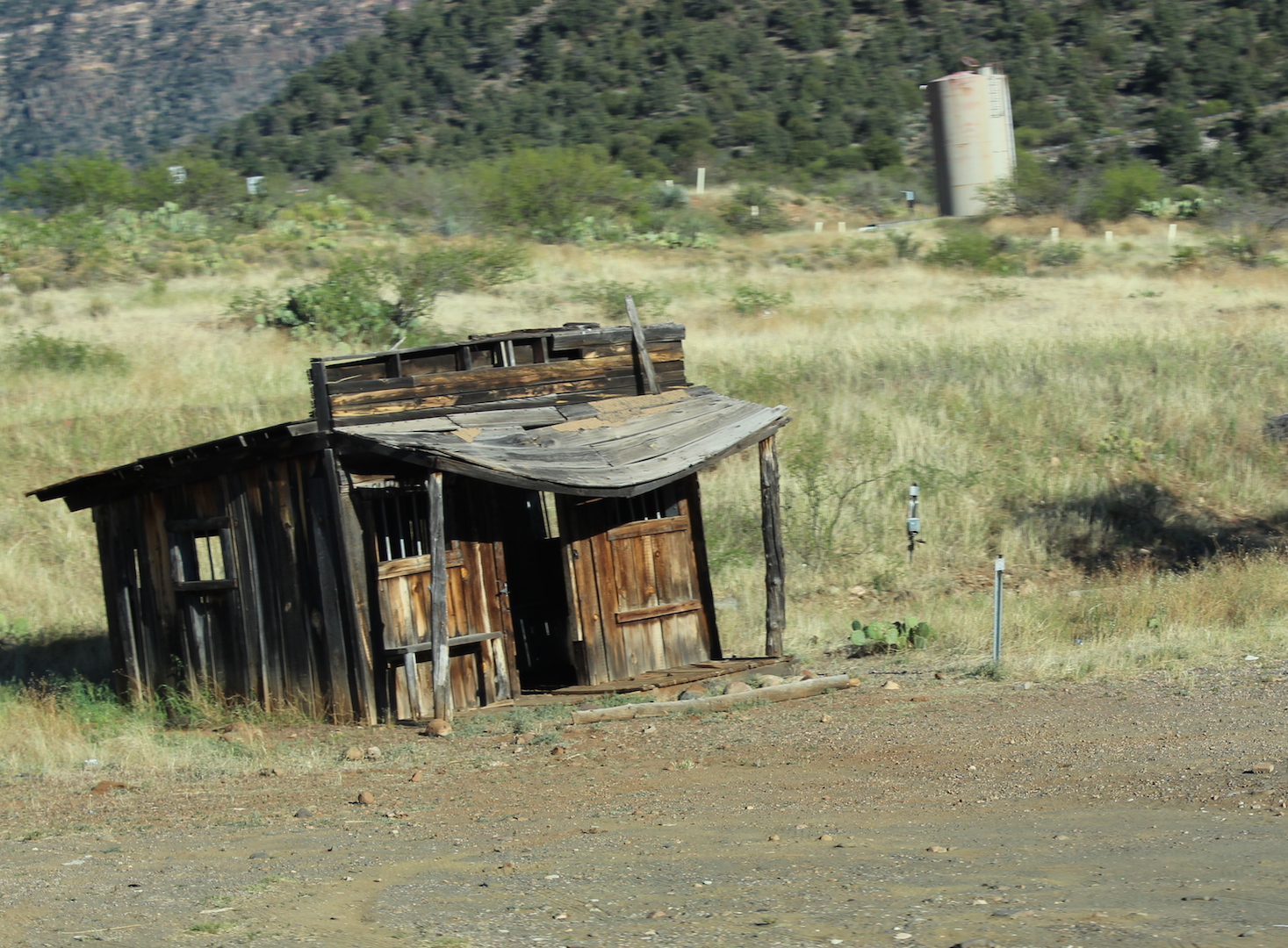
Along the road, whenever we saw something that looked cool, we’d stop and follow a trail or hike to a monument or a site.

OldHouseAZ

It began to get late and we couldn’t find a campground again so we stayed at a Howard Johnson in Holbrook, Arizona. There was a quaint little Italian restaurant in walking distance with great pizza and decent chianti.

I’m not overly fond of hotels  — but it’s nice to take a shower and wash off the dust at the end of a long day. I don’t care if it’s a a five-star hotel, either. Have you seen those TV shows that expose the dirt and germs? So much ick, right?

Side note: Only in California do all public restrooms provide seat protectors. There needs to be a Federal law that make seat protectors mandatory. I HATE going all old school with toilet paper lining the seat — but I NEED that barrier between me and the rest of the world

Next time, Part Three of Wandering to Zion